

The City of Prague has taken a significant step towards the digitalisation of its infrastructure. The City Council recently approved the conclusion of cooperation agreements for the development of the digital technical map between the metropolis and four key companies - the Transport Company of the Capital City of Prague, Kolektory Praha, Technologies of the Capital City of Prague and Technical Administration of Communications.
What is a digital technical map?
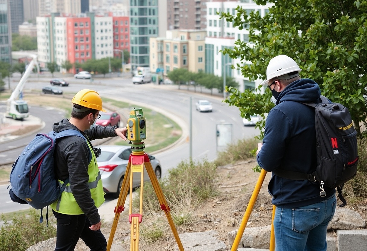
The Digital Technical Map (DTM) is a comprehensive data source containing data on the transport and technical infrastructure of the city, including selected natural, built and technical objects. It is not just a simple mapping of the current state - the system will also include planned changes to the infrastructure, allowing for more efficient coordination of construction work.
Legislative basis
The obligation to establish and maintain a digital technical map is based on the amendment of the Land Surveying Act and the Building Act. This obligation was imposed on the regions and Prague as part of the broader digitisation of construction management and spatial planning. The aim is to create a single, accurate and up-to-date source of data on infrastructure available through the Digital Public Administration Map Information System.
Extensive mapping
The project "Development of the Digital Technical Map of the Capital City of Prague" is financed by the National Recovery Plan. Within the framework of the project, extensive mapping will be carried out including:
- Roads and civil engineering structures
- Metro routes and related infrastructure
- Tramway cables
- Public lighting
Due to the technical complexity and diversity of the elements to be mapped, the mapping contract was divided into four parts, each requiring a specific approach and equipment.
Cooperation of key partners
The success of the project depends on the cooperation of the managers of the different parts of the urban infrastructure. The municipal companies will provide not only their expertise but also the technical equipment necessary for mapping specific areas - for example, measurements in the metro tunnels or surveying the tramway cables. Once the measurements are completed, they will ensure that the data obtained is uploaded into the DTM system.
Benefits for the city and citizens
The creation of a comprehensive digital technical map will bring a number of benefits:
- More efficient planning of construction works and minimisation of street digging.
- Speeding up construction procedures
- More accurate spatial planning
- Better coordination in infrastructure management and maintenance
- Easier access to information for professionals and the public
The future is digital
The project is due to be completed by March 2026, by which time all data must be uploaded into the system in accordance with the grant conditions. The digital technical map will thus become an important tool for managing urban infrastructure in the digital age, where accurate data and its sharing between different entities are essential for the efficient functioning of a modern metropolis.
With this step, Prague confirms its position among cities that are actively preparing for the challenges of the 21st century and using digital technologies to streamline their administration and improve services to their citizens.